Relentless Tornado Threats and Severe Supercells Paralyze Texas and Central Plains
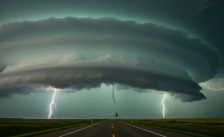
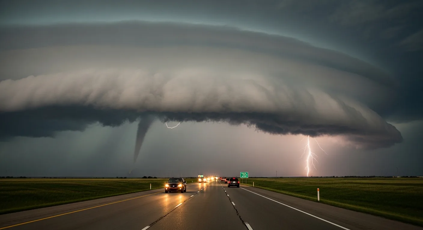
DALLAS — In a major development that could redefine the spring storm season, a massive and volatile weather system is stalling over the Central United States, triggering life-threatening tornado warnings and catastrophic hail across Texas and the Southern Plains.
Emergency management officials across three states have moved to high-alert status as a series of powerful supercells continues to batter the region. Meteorologists warn that the atmospheric setup remains dangerously primed for long-track tornadoes and damaging winds exceeding 80 miles per hour.
The prolonged period of volatile weather follows a week of deadly outbreaks that have already left local infrastructure reeling. Recovery efforts in northern Texas are now being hampered by fresh rounds of torrential rain and flash flooding.
Immediate Threat to Life and Property
The National Weather Service has issued multiple PDS (Particularly Dangerous Situation) tornado watches, signaling an elevated confidence in the potential for intense, long-lived tornadoes. Residents in the path of these storms are being urged to seek underground shelter immediately as radar-indicated rotations become increasingly frequent.
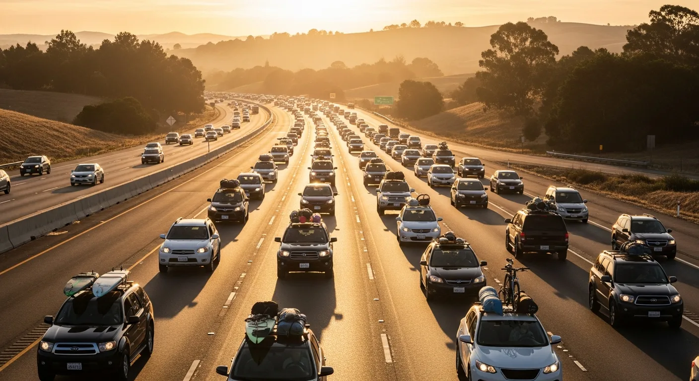
This atmospheric instability arrives as millions of Americans attempt to navigate the severe weather outlook impacting Memorial Day travel across the Central U.S. The convergence of high-volume holiday traffic and rapid-onset storm warnings has created a logistical nightmare for state troopers and highway safety officials.
- Tornado watches remain in effect for 15 million people across the Southern Plains.
- Large hail, some the size of softballs, has been reported in rural communities outside of Abilene.
- Flash flood emergencies have been declared in low-lying areas of the Red River Valley.
Governor Abbott’s office has confirmed that additional National Guard units are being prepositioned to assist with search and rescue operations if the situation deteriorates further. Power grids in the Dallas-Fort Worth metroplex are already showing signs of strain as lightning strikes and wind damage disrupt local transformers.
Infrastructure and Emergency Response
The intensity of the current system is being fueled by an unusually sharp dryline clashing with moist air from the Gulf of Mexico. This collision has created a “deadly corridor” where storms can intensify in minutes, leaving little time for traditional sirens to reach residents in remote areas.
While the plains face moisture-rich storms, other regions are battling extreme thermal shifts, such as the record-breaking temperatures and heat safety mandates currently impacting the Southeast. This contrast in weather extremes highlights a broader trend of atmospheric volatility across the continental United States this season.
First responders are specifically concerned about the timing of these storms, as many are expected to turn nocturnal. Nighttime tornadoes are twice as likely to be fatal, as residents may sleep through emergency alerts or lose power before warnings can be broadcast.
Travel and Holiday Disruption
Major airline hubs in Dallas and Oklahoma City have reported hundreds of cancellations and thousands of delays. Travelers are being advised to check flight statuses frequently and avoid driving through the central corridor until the primary line of storms has passed.
Local law enforcement has issued a stern warning against “storm chasing” for amateurs, noting that the unpredictable nature of these specific supercells makes them exceptionally dangerous even for experienced observers. The focus remains entirely on public safety and the preservation of life as the holiday weekend begins under a dark cloud of uncertainty.
Frequently Asked Questions
Which states are under the highest tornado risk?
Currently, Texas, Oklahoma, and Kansas are facing the highest risk levels for tornadic activity. The threat is concentrated along the dryline and the advancing cold front moving through the Southern Plains.
How long is this weather pattern expected to last?
Meteorologists expect the current volatile pattern to persist through the end of the weekend, with a gradual weakening of the system projected by Monday evening. However, secondary storm development remains possible.
What safety measures should residents take?
Residents should have multiple ways to receive alerts, including a NOAA weather radio and smartphone notifications. Identify a safe room or basement and ensure you have a basic emergency kit ready for immediate use.
How has this impacted Memorial Day travel?
Thousands of flights have been delayed or cancelled, and major highways across the Central U.S. are experiencing significant slowdowns due to visibility issues and debris. Travelers are urged to postpone non-essential trips through high-risk zones.